The Challenge

Introduction

  • Who am I? Professor of Transport Data Science at the University of Leeds, with 2 years experience working in the UK Civil Service (Head of Data and Digital, Active Travel England, part of the Department for Transport).
  • My focus: Building open, reproducible, and policy-relevant transport planning tools.
  • Today’s topic: Building a community of practice for data-driven transport decision-making in Ukraine.
  • Why it matters: Supporting evidence-based transport planning, recovery and EU integration.

The challenge: the data-to-policy gap

We have more data than ever before, but are we using it effectively?

Common Barriers:

  • Data Access: Data is often siloed, proprietary, or not in a usable format.
  • Skills & Tools: Lack of training and accessible tools to analyse the data.
  • Institutional Culture: Resistance to new methods and a disconnect between analysts and decision-makers.
  • Procurement: Over-reliance on ‘black box’ commercial solutions.

Geoadministrative friction

In the UK, for example, transport decisions made at 4 main levels:

  1. UK Parliament (UK-wide)

  2. Devolved departments, e.g. DfT (national)

  3. Combined Authorities (e.g. West Yorkshire)

  4. Local Authorities (e.g. Leeds City Council).

Source: statistics.gov.uk

Problem: stop-start funding for transport

Source: github.com/itsleeds/uktransportauthorities

Problem: proprietary ‘black box’ tools

Source: Lovelace (2021), source code: github.com/robinlovelace

Problem: ‘just build on top of it’ (dependency)

Most modelling systems are built on layers of legacy tools, data, and code that nobody fully understands.

The temptation is always to add another layer rather than fix the foundations.

Source: “Dependency” by Randall Munroe: xkcd.com/2347/

The Solution

A solution: open & reproducible workflows

Openness builds trust and empowers collaboration.

  • Open Source: The code is free to use, modify, and share.
  • Open Data: Public data is accessible to everyone.
  • Open Methods: Methodologies are transparent and documented.
  • Open Access: Research and educational materials are freely available.
  • Community of Practice: People learning from each other.

Solution 1: open data & standards

Good analysis starts with good data.

  • Data Standards are Key:
    • GTFS for public transport schedules.
    • GBFS for shared micro-mobility (bikes, scooters).
    • OpenStreetMap for detailed street network data.
  • National Data Portals: A vital resource for official statistics.
  • Example: Sourcing road network data from OpenStreetMap for transport analysis across an entire country.

Solution 2: open source tools and materials

Powerful, free, and adaptable tools for transport analysis.

  • Python and R Ecosystems: Mature libraries for data science, statistics, and visualisation.
    • Free teaching materials including Geocomputation with R’s Transport chapter (Lovelace et al. 2025), Geocomputation with Python (Dorman et al. 2025) and Applied Geostatistics with Python (Pyrcz 2024).
    • There is so much content out there, updated every month, it’s worth searching online for the latest resources, and getting in touch with authors.
  • Python libraries: osmnx for OpenStreetMap, geopandas for spatial data, grid2demand for demand modelling, madina for urban network analysis (Sevtsuk and Alhassan 2025).
  • These tools can be adapted to local needs and data sources, and extended

Solution 3: communities of practice

Capacity building is not just about tools, it’s about people.

  • A Community of Practice is a group who “share a concern for something they do and learn how to do it better as they interact regularly.”
  • Open source projects naturally foster these communities.
  • Examples: rOpenSci, QGIS user groups, transport modelling forums.
  • To build capacity, invest in building communities, they don’t just happen, they must be built.

Personal connections are more important than platforms.

Solution 4: openly available results

Results that are open access can be seen ‘de-silo’ transport planning.

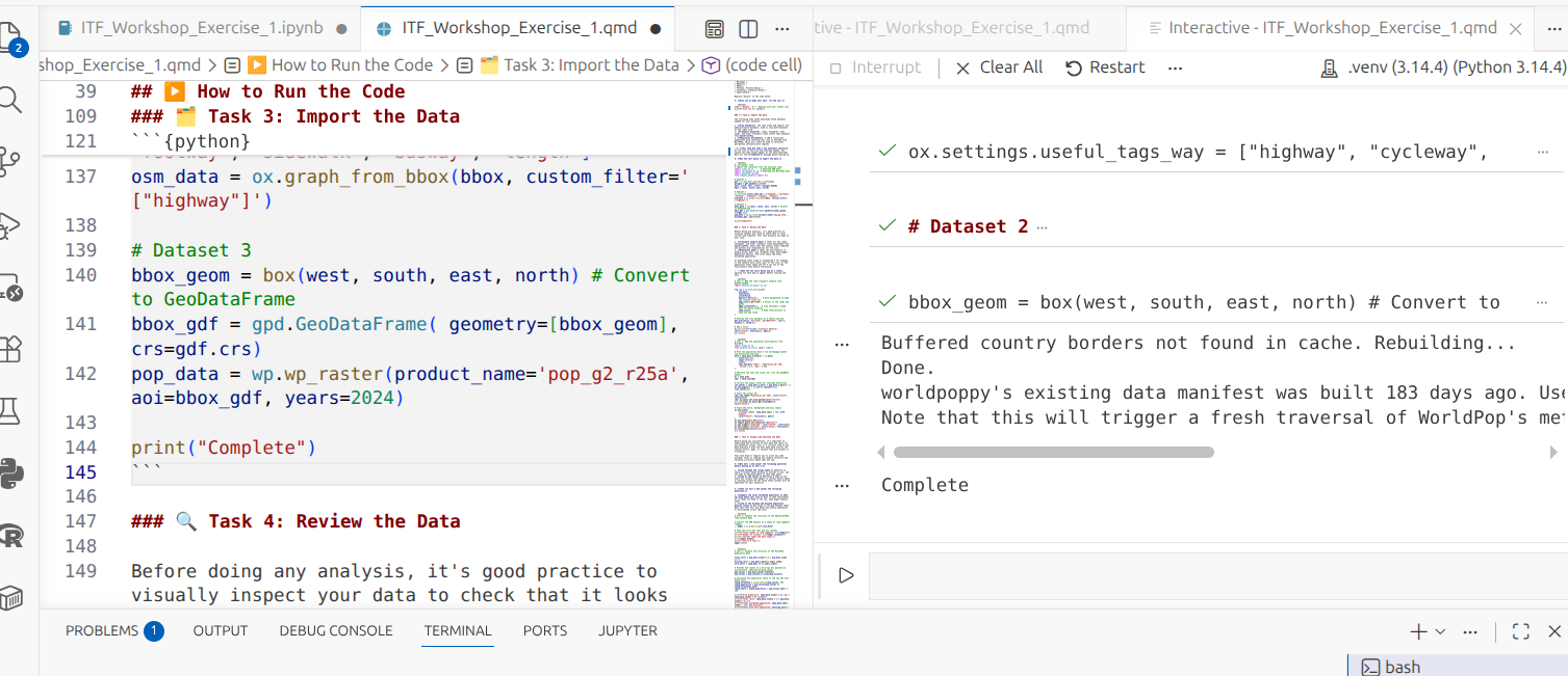
Solution 5: open and reproducible environments

Flexible and open reproducible development environment using devcontainers and GitHub codespaces (Google Colab alternative).

Source: robinlovelace.net/itfworkshop

Case Studies & Applications

Case study: open OD data in Spain

  • The spanishoddata R package provides access to open origin-destination data (Kotov et al. 2026)
  • It is a community-driven project, adopted by rOpenSpain, ensuring long-term maintenance.
  • Used by researchers and public bodies, including the Spanish Ministry of Transport.
  • A successful model of collaboration between government, academia, and the open-source community.

Example: Propensity to Cycle Tool

pct.bike now used by local authorities across England (Lovelace et al. 2017)

Variants building on it deployed in IrelandScotlandPortugal and beyond.

Making it happen in Ukraine

Caveat: No one-size-fits-all solution, may be possible to leapfrog some challenges!

How can these principles be applied?

  1. Data Audits: What data exists? What format is it in? What can be opened?
  2. Pilot Project: Choose a specific problem/region to test solutions that can scale nationally.
  3. Invest in Training and collaboration: Build future-proof skills, including efficient use of AI.

Summary & Outlook

References

Dorman, Michael, Anita Graser, Jakub Nowosad, and Robin Lovelace. 2025. Geocomputation with Python. CRC Press. https://py.geocompx.org/.
Kotov, Egor, Eugeni Vidal-Tortosa, Oliva G. Cantú-Ros, et al. 2026. “Spanishoddata: A Package for Accessing and Working with Spanish Open Mobility Big Data.” Environment and Planning B: Urban Analytics and City Science, ahead of print, January 17. https://doi.org/10.1177/23998083251415040.
Lovelace, R, A Goodman, R Aldred, N Berkoff, A Abbas, and J Woodcock. 2017. “The Propensity to Cycle Tool: An Open Source Online System for Sustainable Transport Planning.” World Society for Transport and Land Use Research, ahead of print, January 30. https://doi.org/10.17863/CAM.7365.
Lovelace, Robin. 2021. “Open Source Tools for Geographic Analysis in Transport Planning.” Journal of Geographical Systems 23 (4): 547–78. https://doi.org/10.1007/s10109-020-00342-2.
Lovelace, Robin, Jakub Nowosad, and Jannes Münchow. 2025. Geocomputation with r. CRC Press. https://r.geocompx.org/.
Pyrcz, Michael J. 2024. Applied Geostatistics in Python: A Hands-on Guide with GeostatsPy. Zenodo. https://doi.org/10.5281/zenodo.15169133.
Sevtsuk, Andres, and Abdulaziz Alhassan. 2025. “Madina Python Package: Scalable Urban Network Analysis for Modeling Pedestrian and Bicycle Trips in Cities.” Journal of Transport Geography, ahead of print. https://doi.org/10.1016/j.jtrangeo.2025.104130.

Example: refugee displacement flows from Ukraine (video)

An interactive flow map. Reproducible code: github.com/robinlovelace/itfworkshop